|
 |
 |
|
|
Gravimetry
The method of gravimetric measurement is based on the study of variations of gravity acceleration over the Earth’s surface, caused by the difference of density in rocks.
Microsurvey offers the service of gravimetric gradiometry with the use of the FTG system, developed by Bell Geospace.
|
|
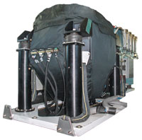 |
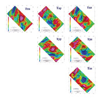
The FTG (Full tensor Gradiometry) system uses the method of measurement of high precision and high resolution, which uses multiple accelerometers in a rotating platform, through which one obtains information of the gradients of the Earth’s gravimetric field.
The regional geophysical study with the use of gravimetry is very important in the location of sedimentary basins, of areas with acquifer prospective as well as in the search for hydrocarbons. This is due to the fact that it is able to cover large areas in little time for the selection of targets, thus accelerating the research system.
|
|
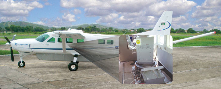
Microsurvey has more than 200,000 Km of experience with the aero transported Gravimetric and Gravimetric Gradiometric systems.
|
 |
|
|
 |
|
| |
Copyright (c) 2005-2011 | Microsurvey Aerogeofísica e Consultoria Cientifica LTDA. |